​​​​​​​​​​​​​​South Mountain Park/Preserve​

SoMo Page Cover.jpg


Happy 100th Birthday South Mountain! 

Did you know South Mountain Park and Preserve turns 100 years old in 2024?! That's right! In 1924, the City of Phoenix purchased 13,000 acres of land for $17,000.
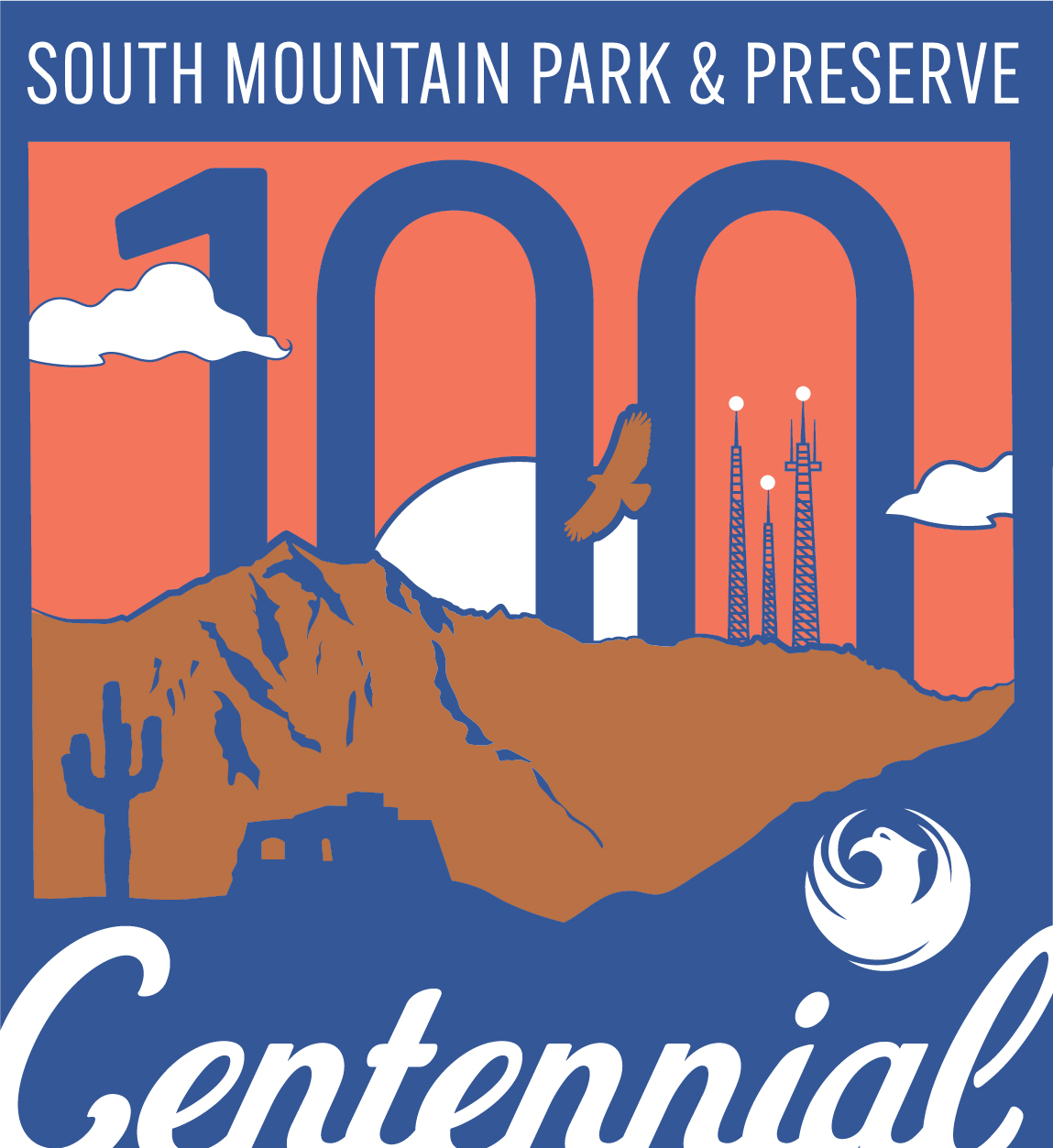
 ​South Mountain Park Centennial Logo - COLOR.jpgToday, ​at more than 16,000 acres, South Mountain Park/Preserve is one of the largest municipally managed parks in the nation! Learn more about the park, and stay tuned as we celebrated South Mountain Park and Preserve throughout the year! ​​

About South Mountain Park/Preserve

​At more than 16,000 acres, South Mountain Park/Preserve is one of the largest municipally managed parks in the nation and consists of three mountain ranges - the Ma Ha Tauk, Gila and Guadalupe. The park boasts more than 50 miles of trails for hiking, horseback riding and mountain biking. Additionally, the roadways throughout the park are a favorite for bicyclists.  

Dobbins Lookout, at 2,330 feet, is the highest point in the park that is available to the public. Accessed by both hiking trails and Summit Rd., the lookout is popular with tourists and locals, who want to get an unobstructed panoramic view of the Valley.

Note: The park's scenic roadways are shared by motor vehicles, bikers and hikers. Due to the many blind corners, narrow sections and treacherous drop-offs, extreme caution should be maintained and adherence to the speed limit followed. 


​Silent Sunday


This event closes the park’s main roadway, Summit Road, to motor vehicle traffic during these times and the park’s roadways are reserved for non-motorized activities such as walking, cycling, jogging, hiking, etc.

On the 4th Sunday of every month is Silent Sunday, and all-day (5 a.m. to 7 p.m.) road closure into the park. 

All vehicles must turn into the Activity Complex and park there. They may hike, bike, stroll on the roads without fear of traffic from public vehicles. Tower workers, City staff and emergency vehicles may be on the roads at any given time, however.

On the 1st, 2nd, 3rd, and 5th Sundays of the month, there is a shortened Silent Sunday (5 a.m. until 10 a.m.) with the summit road closed at the 1.0 mile marker. 

​ This different closure allows visitors to access some trailheads and picnic areas in the lower areas of the park otherwise inaccessible on the 4th Sundays.

San Juan Road: Open from 5:00 a.m. to 7:00 p.m. on the first Saturday of the month and from 10:00 a.m. to 7:00 p.m. on the first Sunday of the month.​


Infrastructure Improvement Project Information:

South Mountain Park/Preserve Trails Master Plan
 ​


Current Trail ProjectsTrail Map & Descriptions
 

Trailheads:

South Mountain Park/Preserve
10919 S. Central Ave.

​Main Entrance
10211 S. Central Ave.

Pima Canyon Trailhead*
4800 E. Pima Canyon Rd.

Mormon Trailhead
8610 S. 24th St.

Beverly Canyon Trailhead
8800 S. 46th St.

​Buena Vista Trailhead
N. Buena Vista Rd.

(Accessed via South Mountain Park/Preserve Main Entrance)

Desert Foothills Trailhead
14251 S. Desert Foothills Pkwy.

Chandler Blvd. and 19th Ave. Trailhead
15451 S. 19th Ave.

19th Ave. (Ma-Ha-Tauk) Trailhead
10484 S. 19th Ave.

Parking/Entrance Hours:
5 a.m. to 7 p.m.*

* - Extended summer hours are in effect annually from June 1 through September 30 at Pima Canyon Trailhead. The trailhead parking lot entrance is open until 9 p.m.


Trail Hours:
5 a.m. to 11 p.m.​


Take a hike, do it right logo 

Review "Take a Hike. Do it Right." guidelines before visiting the trail. The symbol to the right of each trail name represents the difficulty rating.

Trail rating guide

*Add an additional level of difficulty when the temperature is in the triple digits. 


Ramada Usage in South Mountain Park/Preserve: 

The ramadas in South Mountain Park/Preserve are available for public use, and several require a reservation. Please view the information provided by the links below to learn more about reserving a ramada.  Ramada reservations must be made in person at a Phoenix Parks and Recreation Department facility.

Ramada Map and Information