Active until Monday, July 27. For public safety, certain trails are restricted from 8 a.m. to 5 p.m.
District 6 - Councilmember Kevin Robinson
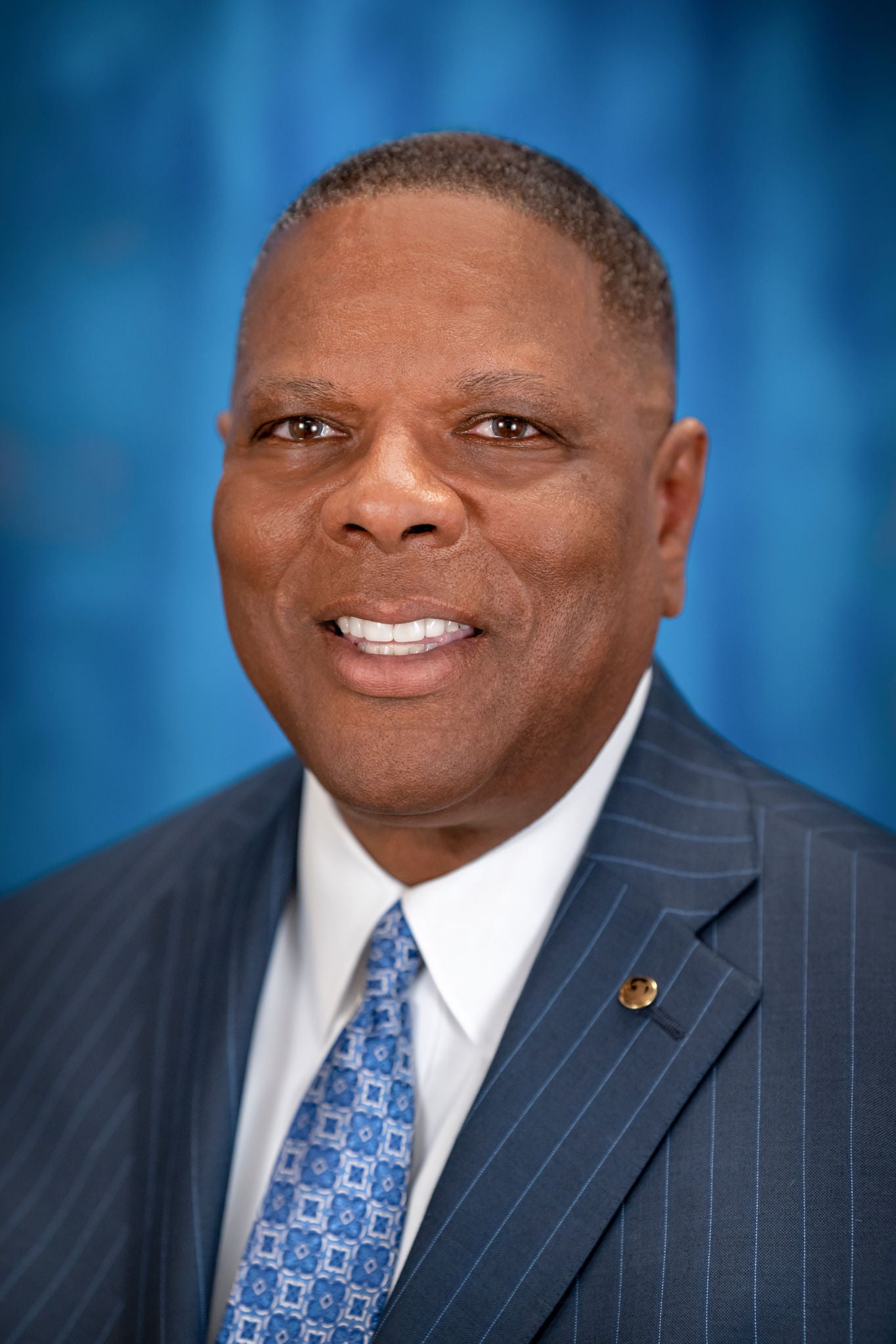
Councilman Kevin Robinson is a retired (36 1/2 yrs.) senior law enforcement executive with more than eighteen (18) years of upper management and executive level experience serving the fifth (5th) largest city in the United States. He is also a full time Lecturer in the Watts College of Public Programs and Community Solutions at Arizona State University where he instructs in the School of Criminology and Criminal Justice.
Councilman Robinson was elected to the Phoenix City Council representing District 6 – which includes the Ahwatukee, Arcadia, Biltmore, and North Central neighborhoods.
He was sworn-in on Monday, April 17, 2023.
Robinson’s twenty plus years of board of director experience has been exclusively in the non-profit arena, the most significant being his service (17 1/2 yrs.) to the Ronald McDonald House Charities (RMHC) of Central and Northern Arizona. It was in this capacity that he served two terms as President of the Board while directing a successful multi-million-dollar capital campaign. It was with RMHC where he led several different committees, budget, strategic planning, and board development.
In 2020, Robinson was selected by Arizona Supreme Court Chief Justice Robert Brutinel to serve on the Arizona Judicial Council (AJC). The AJC is a policy-making body that oversees the judicial system in Arizona. During the latter part of 2020, Councilman Robinson was nominated by former Arizona Governor Doug Ducey to fill a seat on the Arizona Police Officers Standards and Training Board (AZPOST). AZPOST stands to foster public trust and confidence by establishing and maintaining standards of integrity, competence, and professionalism for Arizona peace officers and correctional officers.
Robinson’s executive level law enforcement experience (involving several different divisional assignments) included, but is not limited to, oversight of the Phoenix Police Department’s approximate $500 million dollar yearly budget, a complex hiring process of sworn, non-sworn, technical, and professional staff, the training process and curriculum, emergency communications system, information technology, records management, property/evidence management, the high-risk tactical and K-9 teams, the air support unit, the investigative units involving homicides, sexual assaults, robbery, drugs, family violence, and burglary, as well as the uniformed patrol function.
Robinson and his wife, Dr. Michele Halyard, have three adult children, James, Christina, and Jordan.
They also have two energetic dogs, a Portuguese Waterdog (Lily) and a Goldendoodle (Daisy).
Contact Information
Email: council.district.6@phoenix.gov
Office Line: 602-262-7491
Address: 200 W. Washington St., 11th Floor, Phoenix, AZ 85003
District 6 Map
The boundary map of Phoenix City Council District 6 is bar-bell shaped and includes communities such as the Biltmore, Ahwatukee, Arcadia and North Central. The northern part of the district has Central Avenue and Northern Avenue as the northern boundary and Buckeye Road and 48th Street as the southern boundary. The southern part of the district has Baseline Road and 48th Street as the northern boundary and Central Avenue & Pecos Road as the southern boundary. The new City Council district boundaries became effective Jan. 1, 2013.
Not sure if this is your district? Try our online search using your home address.
I Want to...
-
Meet the Team
Meet the dedicated District 6 team in Phoenix. Discover their roles and commitment to serving the community effectively.
-
Contact Councilman Kevin Robinson
Contact District 6 with your community concerns and inquiries. Reach out for support and engagement opportunities.
-
Find My Police Precinct
Discover your local police precinct in Phoenix for public safety services and support. Find contact details and resources to stay informed and secure.
-
Access the MyPHX311 App
Find essential City services here!
-
Submit a Street Maintenance Request
Improve your neighborhood roadway today!
-
Review District 6 FAQs
Learn more about District 6 and how to get involved.
-
See the District 6 Contact List
From bulk trash to Animal Control, find essential City contacts all in one place!