Active until Sunday, August 2. For public safety, certain trails are restricted from 8 a.m. to 5 p.m.
Interactive Maps and Reports
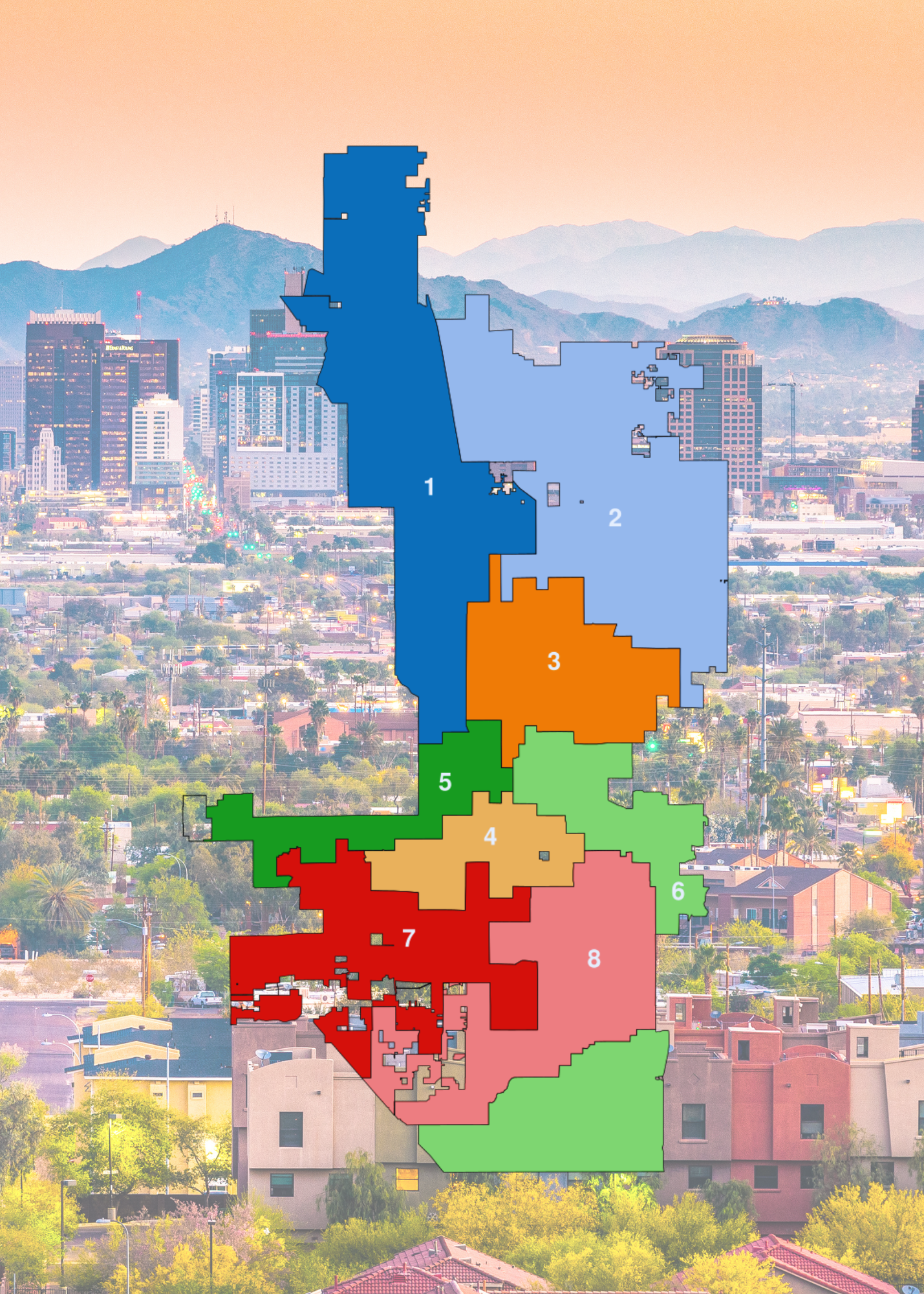
NSD's interactive map allows mapping visualization of real-time information, specific to an address.
It may provide information about your Neighborhood Specialist, neighborhood group, or current status on the Gated Alley Program.
Archived Reports
View archived reports for the city's housing and community development plans.
-
Annual Action Plan & Consolidated Plan Reports
Explore Phoenix's Annual Action Plan Reports for insights on community development and strategic initiatives.
-
Plans and Reports Archive
Explore the City of Phoenix's archived plans and reports for insights into past community development and grant initiatives.
-
Analysis of Impediments: A Fair Housing Study
Explore the Fair Housing Study's analysis of impediments to ensure equal housing opportunities in Phoenix.
-
Funding and Reporting Sources
Find archived reports related to the neighborhood stabilization program.