Active until Sunday, August 2. For public safety, certain trails are restricted from 8 a.m. to 5 p.m.
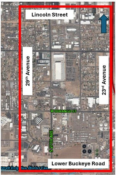
Durango Curve Neighborhoods
The goal of each T2050 Mobility Study is to improve safety, connectivity, and accessibility for all people—regardless of their age or ability level—who walk, ride a bicycle, or use transit to get to their important destinations.
Mobility Area Details
Alfred F. Garcia Elementary is the primary residential and community destination in the Area. Much of the Area is zoned commercial and light industrial, including almost all of the south half. The Maricopa County Jail and Superior Court complex lie just outside the southwest corner of the Area, with the Roosevelt Canal defining part of that boundary. The east boundary abuts Interstate 17, at its Durango Curve section. There are no parks, community services or health/ care facilities.
Key destinations:
- Alfred F. Garcia Elementary School
- Sherman Parkway
- Holy Trinity Outreach
- Roosevelt Canal
Update / Next Steps
A list of proposed recommendations to improve pedestrian and bicycle mobility in the Durango Curve Neighborhoods were identified by the study team based on an analysis of the study area and public input. This list is included in the Proposed Conditions Report available below.
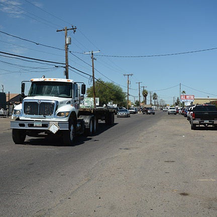
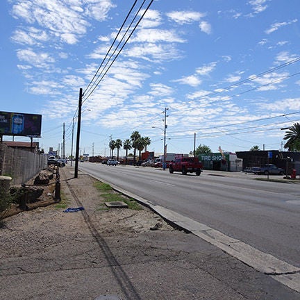
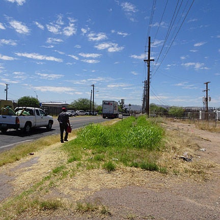
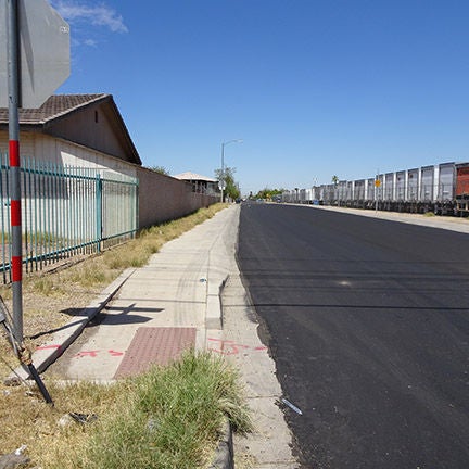
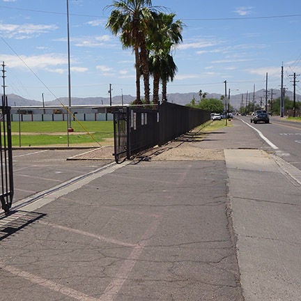
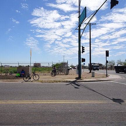
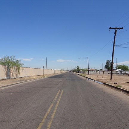
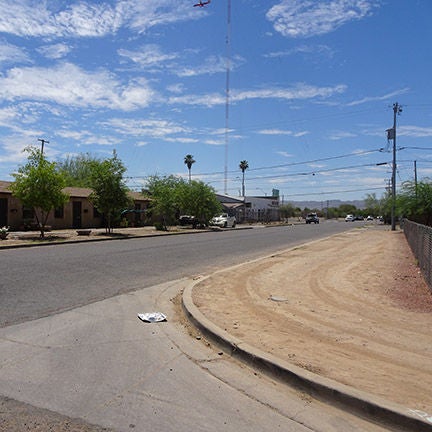
Project Photos
- 1
- 2
- 3
- 4
- 5
- 6
- 7
- 8
Updated April 2023.