Phoenix launches a Citywide food drive to assist residents experiencing food insecurity during the holidays.
Overview
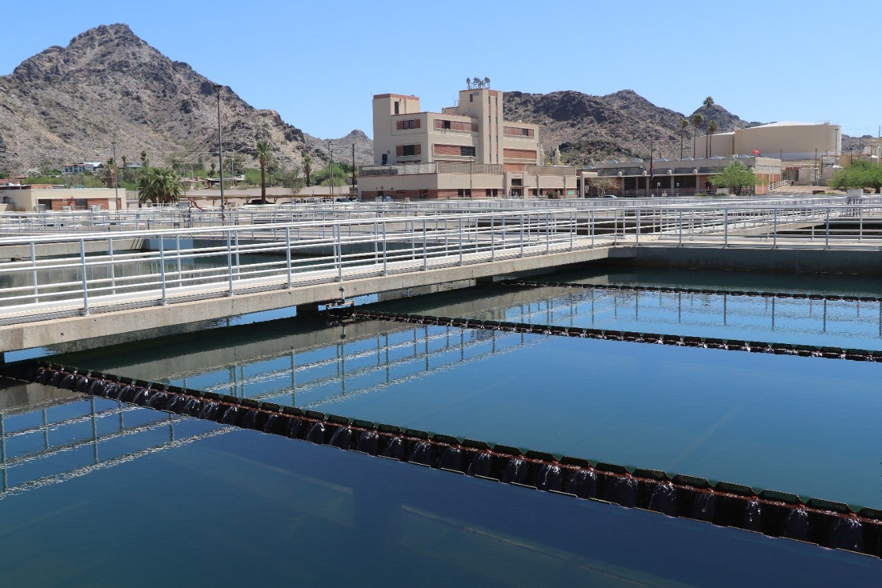
Welcome to Phoenix Water Services! This department is dedicated to providing safe, reliable, and affordable water and wastewater services while prioritizing sustainability for our community's future.
Explore our efforts in drought management, water conservation, and sustainable wastewater treatment. Learn about our Water Equity Initiative, ensuring fair access to clean water. Stay informed with the annual Water Quality Report, and join the "Save Water Pledge" to help conserve resources. Contact us by phone or email for billing or service inquiries support, and follow us on social media.
I Want To ...
.
-
Pay My City Services Bill
Pay your City of Phoenix utility bills online quickly and securely through the City Services web portal, offering easy access to manage and view your accounts.
-
Understand My City Services Bill
Learn how to read your City of Phoenix services bill with our simple guide. Understand charges, billing cycles, and payment options easily.
-
Conserve Water
Explore water conservation resources to learn how you can help save water and money. Start reducing your usage today with practical tips and tools.
-
Apply For Financial Incentives
Get financial incentives for upgrading to water-efficient toilets, smart irrigation controllers, and grass removal to save water and reduce costs.
-
Visit Tres Rios
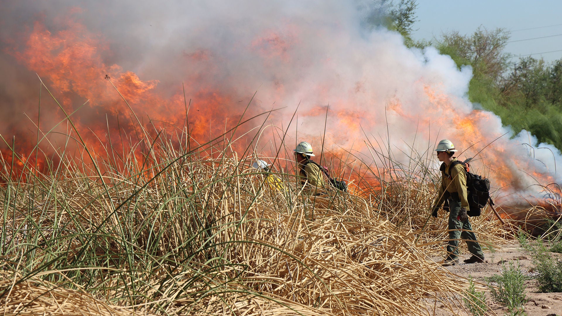
Visit Tres Rios to see restored wetlands, enjoy birdwatching, and experience the natural beauty of this unique environmental project in Phoenix.
-
Read the Water Flow Newsletter
Learn the details about the Water Services Department and our great programs and people that make us a world class organization
-
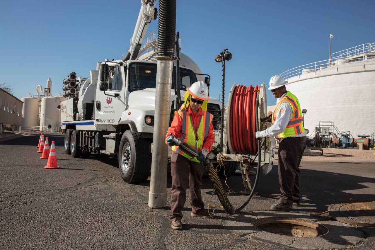
Report a Water Leak
If you witness a water leak or water waste, report it and we will investigate it right away. .
More Information
-

Water and Sewer Rates
Find current Phoenix water and sewer rates, understand billing, and see how rates support infrastructure improvements and service maintenance.
-

Water Quality Reports
Access Phoenix Water Quality Reports to learn about the safety and quality of your drinking water, including detailed testing results and annual updates.
-
Work for Phoenix Water Services
Explore rewarding careers with the Water Services Department, which offers diverse opportunities, competitive benefits, and a commitment to public service.
-

Take the Mayor's Save Water Pledge
Join Phoenix Mayor Kate Gallego in the Save Water Pledge to help conserve water, reduce waste, and make a positive impact on our community's water future
-
Become a Water Wrangler
Phoenix residents learn about conservation through workshops, activities, and community engagement to promote sustainable water use.


Phoenix Water Services | Fueling a Desert City
For over 100 years, The City of Phoenix Water Services Department has delivered safe, reliable tap water to homes and businesses in our community. Today, Phoenix Water is one of the largest utilities in the United States, serving high-quality tap water to more than 1.7 million customers. With a 100-year assured water supply and the vast infrastructure to continue providing the best quality in water and customer care, Phoenix Water will continue to build on its legacy of being responsible stewards of the environment and our most precious resource for generations to come.
News
Contact the Water Services Department
Customer Service
Phone: 602-262-6251
Monday – Friday, 8 a.m. – 5 p.m.
For a water emergency, call the 24/7 hotline at 602-261-8000.