From Sunday, May 10 through Tuesday, May 12. For public safety, certain hiking trails are restricted from 8 a.m. to 5 p.m.
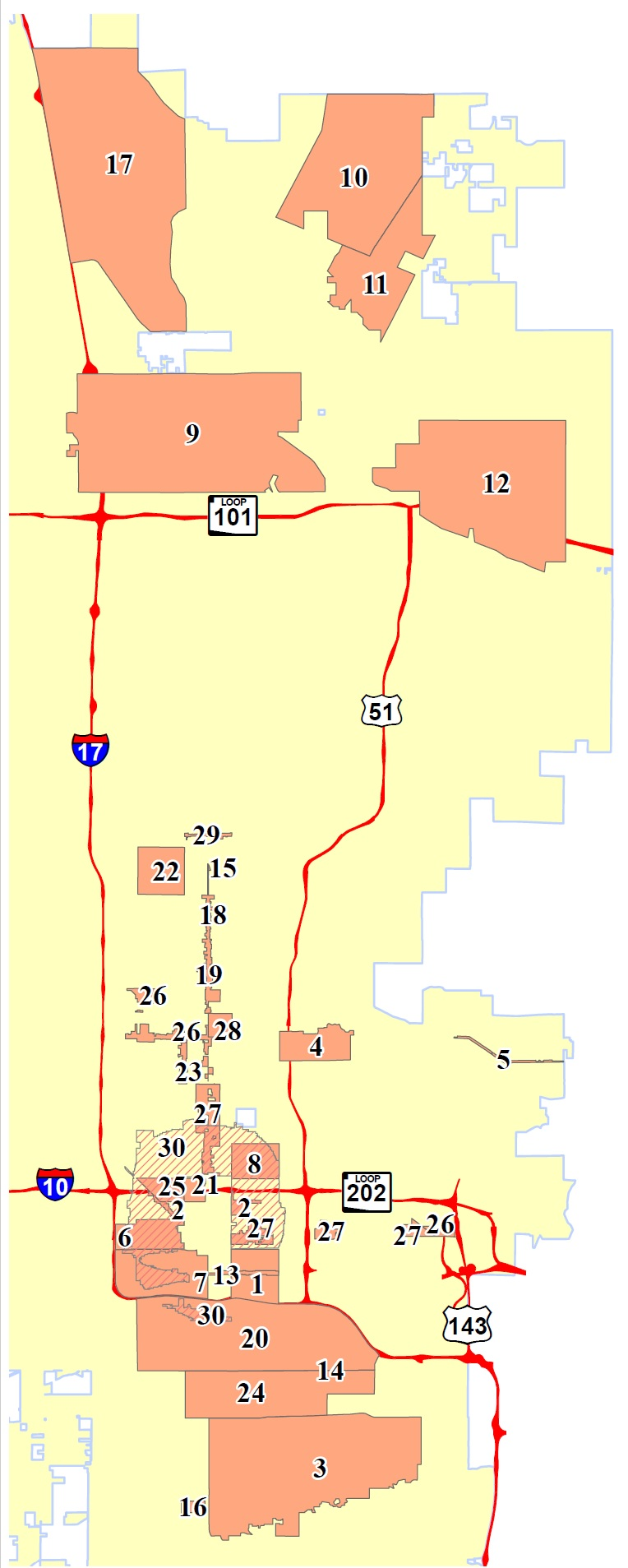
Map of Zoning Overlays and Regulatory Plans
Special Planning Districts and Specific Plans provide additional regulation and guidance regarding specific areas and neighborhoods within Phoenix. The following resource provides an overview and summary of each of the Special Planning Special Planning Districts and Specific Plans that have been adopted in the City of Phoenix:
Summary of Regulatory and Non-Regulatory Special Planning Districts and Specfic Plans
Map of Zoning Overlays and Regulatory Plans
Please click on the overlay title to open a detailed map of the area
*Does not include Historic Planning Disctricts
- Airport Noise Impact Zone Overlay
- Arts, Culture and Small Business Overlay
- Baseline Overlay Area
- Camelback East Primary Core Specific Plan
- Camelback Road Overlay
- Capitol Mall Overlay
- Central City South Interim Overlay
- Coronado Neighborhood Conservation Plan
- Deer Valley Airport Overlay
- Desert Character Overlay A
- Desert Character Overlay B
- Desert Ridge Specific Plan
- East Buckeye Road Overlay
- Four Corners Overlay
- Historic Canalside Restaurant Overlay
- Mountain Park Neighborhood SPD
- North Black Canyon Overlay
- North Central Avenue Historic Streetscape
- North Central Avenue SPD
- Rio Salado Interim Overlay
- Roosevelt Neighborhood SPD
- Royal Palm SPD
- 7th Avenue Urban Main Street Overlay
- South Phoenix Village and Target Area B Design Overlay
- Story Neighborhood Conservation Plan
- Transit Overlay District (TOD-1)
- Transit Overlay District (TOD-2)
- Windsor Square Neighborhood SPD
- Hatcher Road Overlay
- Middle Housing (MH) Overlay