The City of Phoenix website will undergo routine system maintenance on Saturday, January 31, 2026. While no major disruptions are expected, some services may be temporarily unavailable between 7:00 AM and 7:00 PM. If you experience any issues, please check back shortly. Thank you for your patience.
Cool Corridors Program

As part of its Climate Action Plan Framework, the City of Phoenix aims to create a safe and environmentally conscious network of cool corridors across its communities. This is part of a multi-point climate strategy that aims to encourage safe movement from residential homes to various areas across the city.
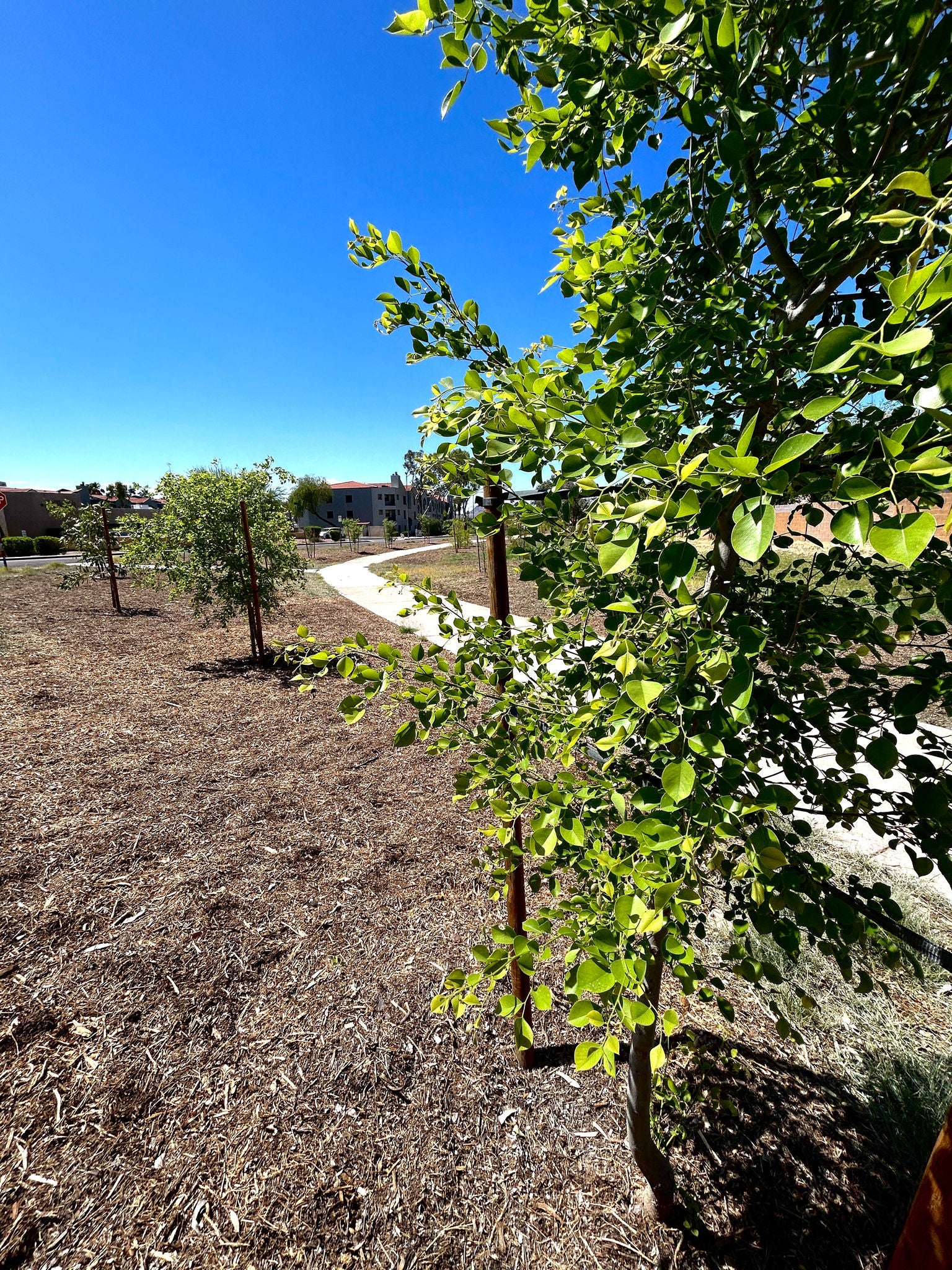
The Street Transportation Department implemented the cool corridors program in 2022 with the approval of $1.4 million to assist with planting up to 200 trees per mile for a total of 1,800 new trees planted across project areas citywide. The department's Cool Corridors program is a part of Phoenix's more comprehensive Tree and Shade Master Plan and is supported by continuous research, prioritization and assessment through a partnership with Arizona State University and other partners.
City staff and researchers developed data using four variables to develop a ranking system. The rankings are used to identify candidate areas in the city to determine where tree planting investments will be most valuable. The four ranking criteria are:
- Neighborhood heat vulnerability,
- Transit dependency,
- Pedestrian use, and
- Shade coverage and temperature
Cool Corridors are one-quarter to half-mile segments, walkways or trails adjacent to an arterial street designed to keep pedestrians, bicyclists and transit users safe and provide relief from the high temperatures of our urban desert landscape. Cool Corridors can have natural and engineered shade, combined with other temperature-lowering design features that can be achieved through public and private partnerships and resources.
When considering where to plant trees, the Street Transportation Department will seek to find available city-owned right-of-way where irrigation is possible. The goal is to plant the right tree in the right place so it can thrive and provide the most benefit to people in the area. Some considerations include:
- Areas where people would walk, bike, jog, etc. if more shade existed there.
- Areas where people would prefer to walk, bike, etc. to get to a destination (work, favorite coffee shop, lunch spot, fitness) because parking is scarce.
- Areas that could benefit from more shade to invite more customers.
- Areas near schools so the little ones are protected from the heat when they walk, bike, or ride their scooter to school.
- Areas where tree growth will not interfere with overhead power lines or underground utilities as the tree matures.
Using the Right Tree, Right Place framework, the Street Transportation Department plants a variety of desert adapted, low water-use trees. The five most common species include:
- Mulga – Acacia anuera
- Ghost Gum – Eucalyptus papuana
- Southern Live Oak – Quercus virginiana
- Chinese Elm – Ulmus parviflora
- Blue Palo Verde – Parkinsonia florida