The City of Phoenix website will undergo routine system maintenance on Saturday, January 31, 2026. While no major disruptions are expected, some services may be temporarily unavailable between 7:00 AM and 7:00 PM. If you experience any issues, please check back shortly. Thank you for your patience.

Overview
The Street Transportation Department comprises four divisions — Street Maintenance, Traffic Services, Design and Construction Management, and Management Services — and the Office of the City Engineer.
We pride ourselves on providing safe and efficient movement of 1.7 million residents and goods, supporting citywide infrastructure projects that improve the quality of life in Phoenix.
Phoenix Street Services
-
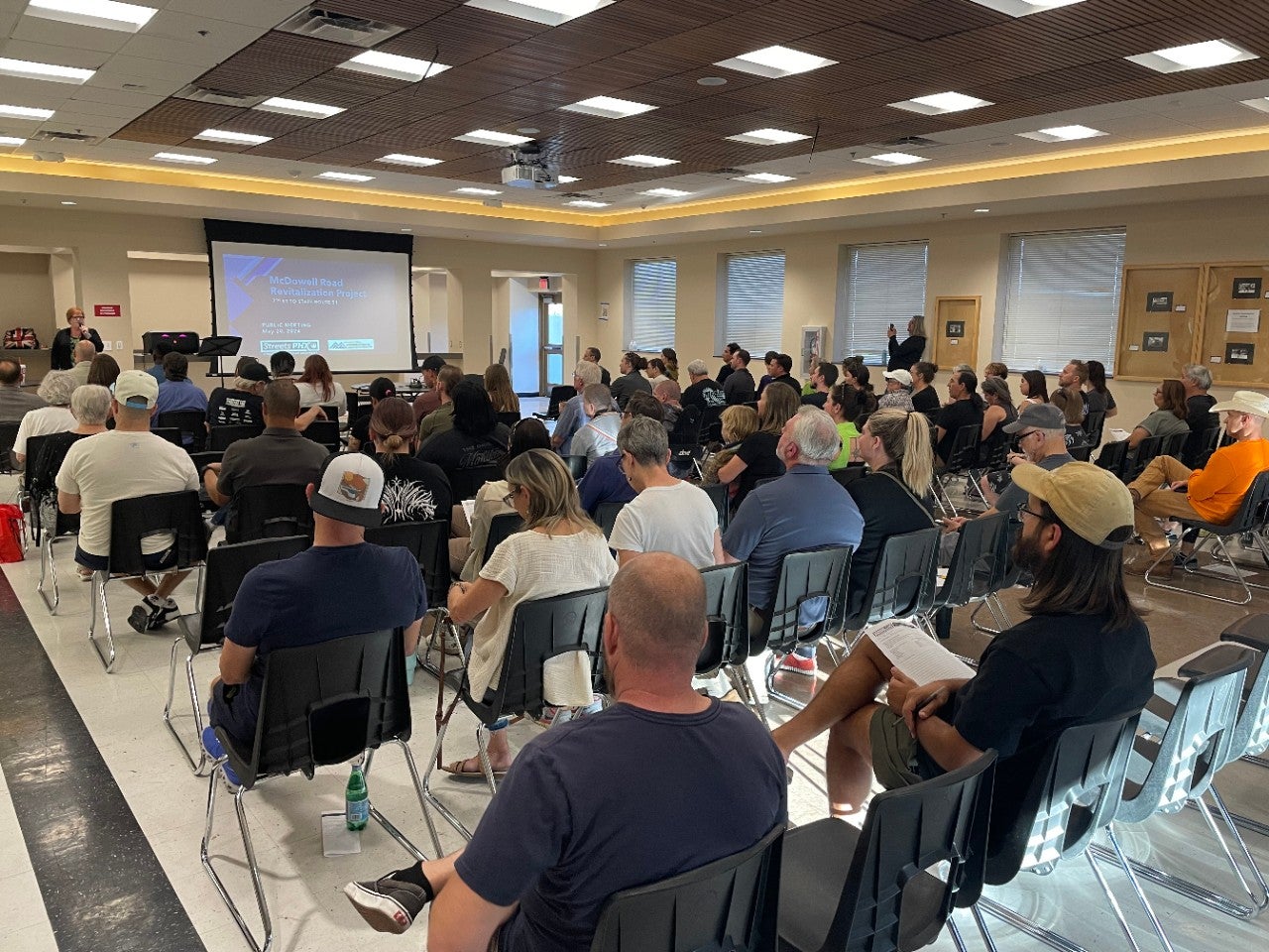
Public Meetings
Get information about all current and past public meetings.
-
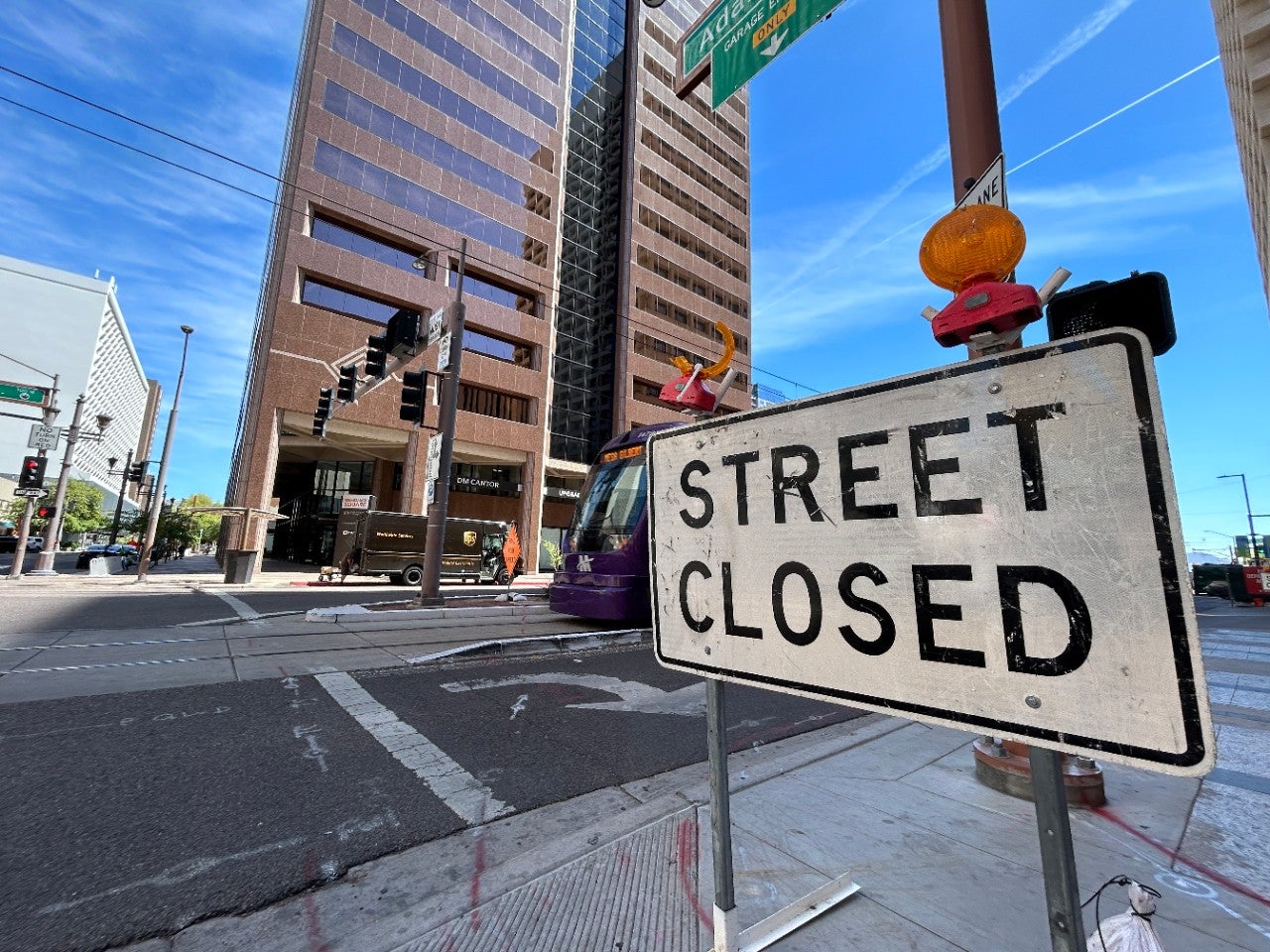
Street Closures Map
Use this interactive map to view all current street closures.
-
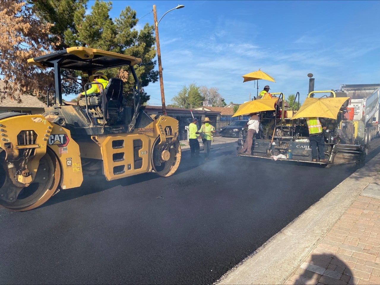
Street Maintenance Division
Find out how Street Maintenance is paving the way to enhancing safety and improving roadways every day!
-
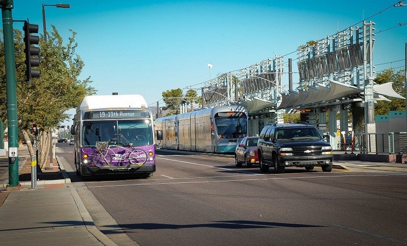
Transportation 2050
Learn about all Transportation 2050 expansion investments in street and transit improvement through 2050.
-
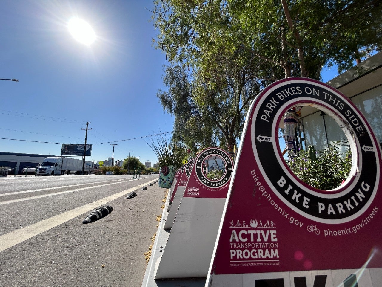
Active Transportation Program
Access current programs that involve walking, bicycling, e-scooters, and other mobility devices.
-
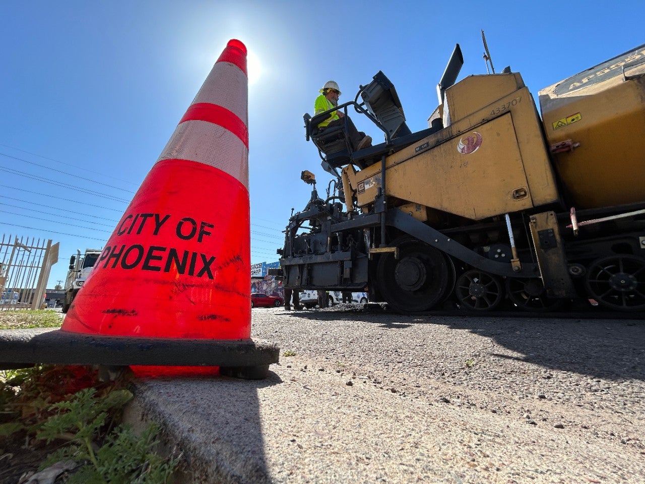
Projects and Initiatives
Learn more about Capital Improvement Projects and other planned major infrastructure improvements.
-

Vision Zero
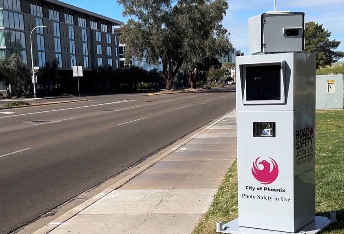
Find out how you can do your part to support the Road Safety Action Plan.
-

Utility/Developer Map
Utility/Developer Map & Pavement Cut Policy
-
Special Permits and Maintenance Agreements
Learn how to obtain Revocable Permits and Maintenance Agreements.
Report an Issue
If your matter is urgent and requires immediate attention, such as a traffic light outage or missing street sign, please contact the Street Maintenance Dispatch operator at 602-262-6441.

Contact the Street Transportation Department
200 W. Washington St., 5th Floor
Phoenix, AZ 85003
Phone: 602-262-6284 (Monday through Friday, 8 a.m. – 5 p.m.)
Email: StreetsP@phoenix.gov

