The City of Phoenix website will undergo routine system maintenance on Saturday, January 31, 2026. While no major disruptions are expected, some services may be temporarily unavailable between 7:00 AM and 7:00 PM. If you experience any issues, please check back shortly. Thank you for your patience.
McDowell Road Revitalization Project
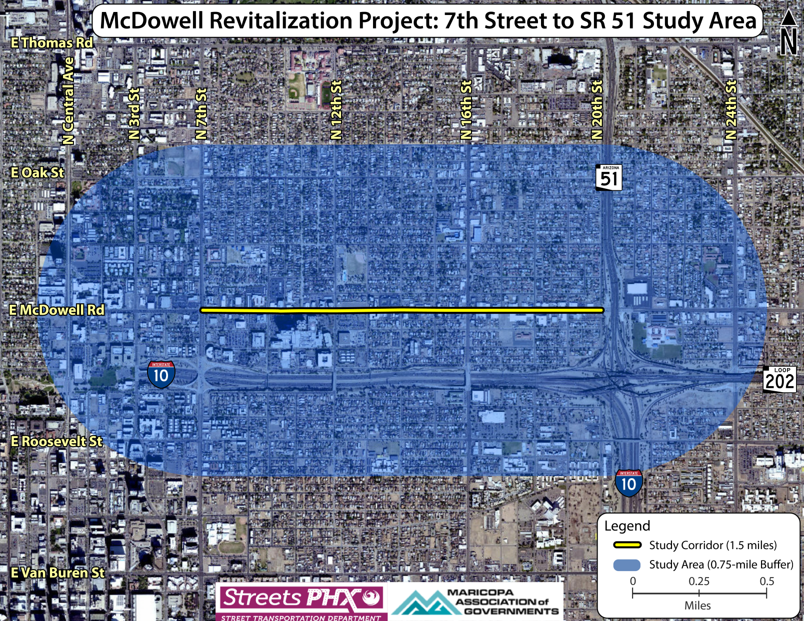
The Phoenix Street Transportation Department is in the study phase of a project to revitalize the McDowell Road corridor between 7th Street and State Route 51 (Piestewa Freeway).
The focus of this study is to identify and confirm community-supported safety and aesthetic improvements to achieve four main goals:
- Creating a safer and more inviting area for people walking or riding bicycles to locations along the corridor
- Improving navigation in and around the retail areas
- Enhancing access to transit
- Fostering a sense of place and identity
This project is intended to promote pedestrian safety by working with the surrounding community to discuss and identify potential corridor improvements that emphasize safety, comfort and connectivity for all users. This project aligns with the city's Vision Zero Road Safety Action Plan and overall vision to prioritize safety and transportation access.
The study phase was funded by the Maricopa Association of Governments (MAG).
Project Details
Corridor opportunities and features:
- Frequent bus service
- Established McDowell Miracle Mile brand
- Diverse, unique local businesses
- Wayfinding
- Public art / murals
- Micromobility / bikeshare / scootershare
- Large amount of development underway
- Ties to historic neighborhoods
- Medical employment
- Historic structures
- Shade trees / existing sidewalks
- Bicycle and transit connections from adjacent streets
This map shows the corridor and general overview of where the City of Phoenix right-of-way exists. This is subject to surveying, but will give residents a general idea of how the city could work within the existing right-of-way space.
The Phoenix Street Transportation Department hosted a public meeting on May 20, 2024 at the North High School Cafeteria to provide the community with an update about the project. An online survey was available in English and Spanish from May 20 through June 9, 2024.
Thank you to those who attended the meeting and participated in the survey to provide valuable input about the latest proposed design options. Those design options can be viewed in the public meeting presentation slides.

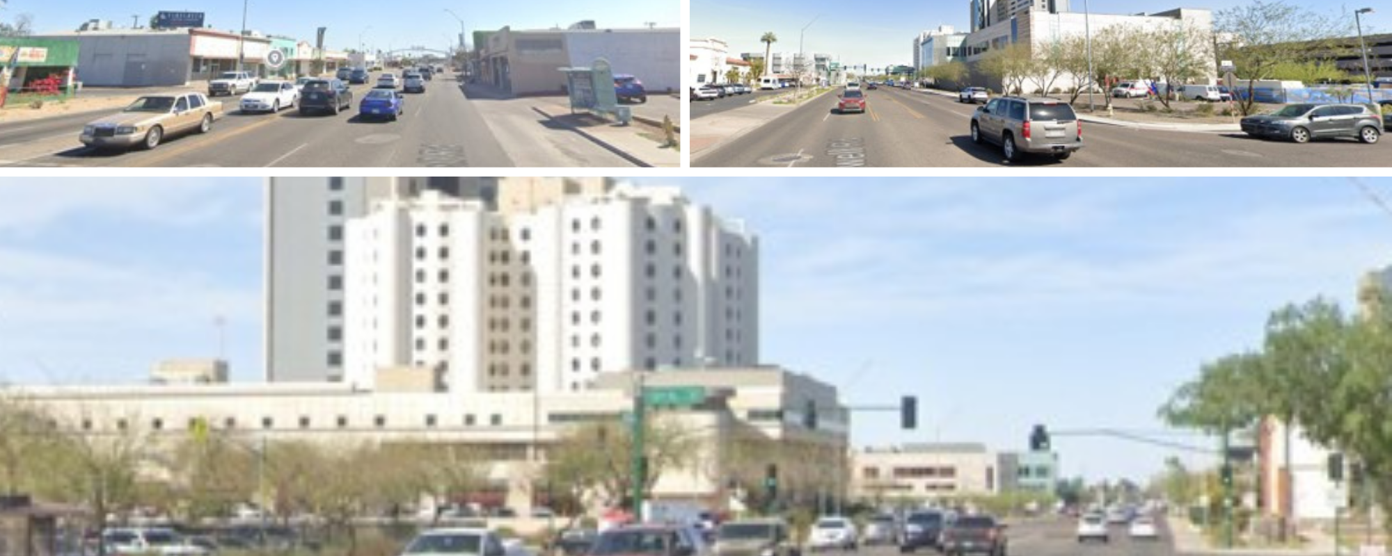
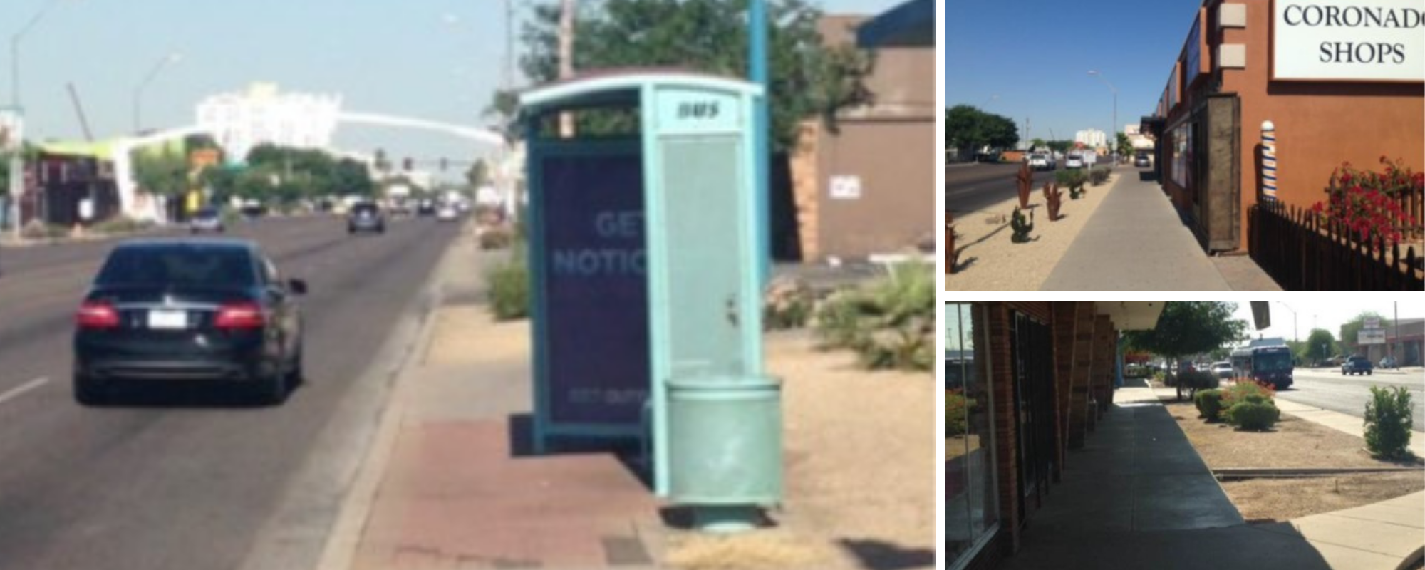
Existing Conditions
Note: Images intentionally blurred to obscure license plates, stickers or identifying information.


- Image 1
- Image 2